
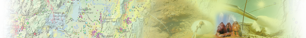
Geothermal Energy:
Home | Published Maps | Interactive Maps | Data | Great Basin Groundwater | Geochemical
Database | Geothermal Leasing on Federal Lands | Recent Geothermal Projects/Exploration Activity | Additional Resources
Geologic Maps
NBMG geologic maps that are listed in the AZGS Repository are also listed below.
Scale: 12k | 24k| 48k | 50k | 62.5k | 100k | 125k | 250k | 500k | 750k | 1 mill | Other
One Geology
Bedrock Geologic Map of New Hampshire at a scale of 1:24000
Bedrock Geologic Map of New York at a scale of 1:250000
Geologic Map of Colorado
Geologic Map of Maryland 1:250,000-Scale
NBMG Geology
OneGeology Map of New Mexico
OneGeology Map of Oregon at 1:24,000 scale
Iron ore deposits of the Buena Vista Hills, Churchill and Pershing Counties, Nevada, Text and Plates
Geologic and Magnetic Map and Sections of the Ford Prospect, Pershing County, Nevada
Geologic and Magnetic Map of the Northern part of Buena Vista Hills, Pershing County, Nevada
Geologic and Magnetic Map of the Northerwestern part of Buena Vista Hills, Pershing County, Nevada
Geologic and Magnetic Map of the Southern part of Buena Vista Hills, Churchill County, Nevada
Geologic Map and Sections of the Buena Vista Mines, Churchill County, Nevada
Geologic Map and Sections of the Segerstrom-Heizer Mine, Pershing County, Nevada
Geologic Map and Sections of the Thomas Mine, Pershing County Nevada
Geologic Map of Buena Vista Hills, Churchill and Pershing Counties, Nevada
Other
Preliminary Map of Thermal Wells in the Moana Geothermal Area, Reno, Nevada
Loss-Estimation Modeling
Loss-Estimation Modeling of Earthquake Scenarios: Battle Mountain, Lander County, Scenario
Loss-Estimation Modeling of Earthquake Scenarios: Carson City Hazus Run
Loss-Estimation Modeling of Earthquake Scenarios: Churchill County Hazus Run
Loss-Estimation Modeling of Earthquake Scenarios: Douglas County - Genoa Fault Scenario
Loss-Estimation Modeling of Earthquake Scenarios: Elko Hazus Scenario
Loss-Estimation Modeling of Earthquake Scenarios: Esmeralda County, Goldfield Scenario
Loss-Estimation Modeling of Earthquake Scenarios: Eureka County Scenario M7.2
Loss-Estimation Modeling of Earthquake Scenarios: Humboldt County Hazus Scenario
Loss-Estimation Modeling of Earthquake Scenarios: Las Vegas, Clark County, Nevada Scenario
Loss-Estimation Modeling of Earthquake Scenarios: Lyon County Earthquake Scenario
Loss-Estimation Modeling of Earthquake Scenarios: Minden and Northwestern Nevada Counties M7.1
Loss-Estimation Modeling of Earthquake Scenarios: Mineral County Hazus Scenario
Loss-Estimation Modeling of Earthquake Scenarios: Nye County, Tonopah Scenario
Loss-Estimation Modeling of Earthquake Scenarios: Pershing County HAZUS Scenario
Loss-Estimation Modeling of Earthquake Scenarios: Pioche, Lincoln County
Loss-Estimation Modeling of Earthquake Scenarios: Reno, Mt. Rose Fault zone, Washoe County M6.9
Loss-Estimation Modeling of Earthquake Scenarios: Storey County - Hazus
Loss-Estimation Modeling of Earthquake Scenarios: Storey, Washoe, Carson, Lyon, and Douglas Counties
Loss-Estimation Modeling of Earthquake Scenarios: Washoe and Surrounding Counties, Reno Scenario
Loss-Estimation Modeling of Earthquake Scenarios: White Pine Hazus
Mineral- and Energy-Resource Potential
Mineral- and Energy-Resource Potential for Lyon County, Nevada
Mineral- and Energy-Resource Potential for Pershing County, Nevada
Mineral- and Energy-Resource Potential for White Pine County, Nevada
Reconnaissance Geologic Map
Reconnaissance Geologic Map of the Granite Range Fault Zone and Adjacent Areas, Washoe County, Nevada
Geologic Hazards
Geologic Assessment of Piedmont and Playa Flood Hazards in the Ivanpah Valley Area, Clark County, Nevada 100k
 Home
Home