 click image to enlarge |
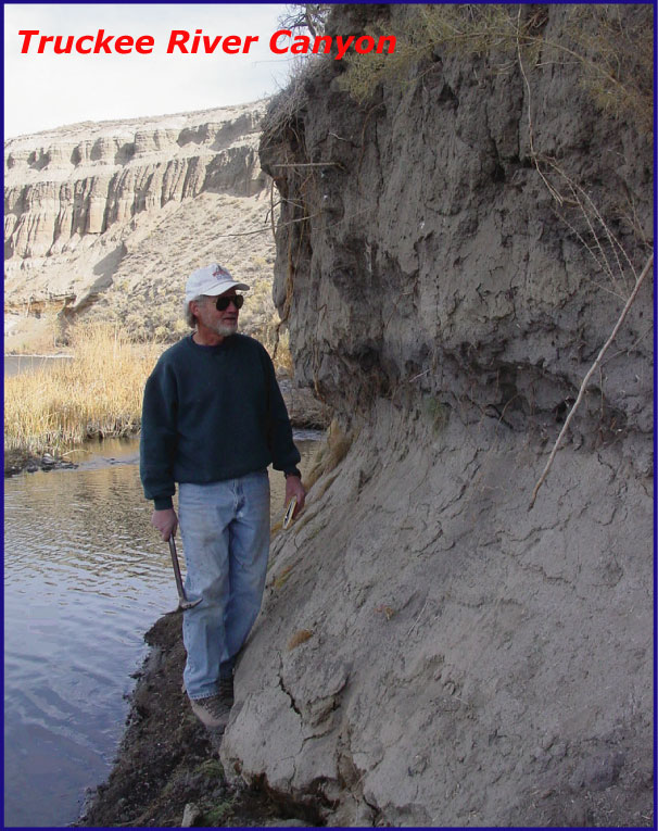
John W. Bell Areas of Interest and some expertise
|
|
Education 1964 Naperville Community High School, Naperville, Illinois Military Service 1969-1971 US Army Professional Career Highlights 1968 Geologic field assistant, Kennecott Copper Corporation, Salt Lake City, Utah Honors and Awards
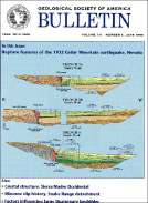
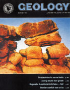
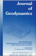
Journal papers featured on publication covers |
||
Bell et al. (1999) |
||
Other contributions over the years Amelung, F., and Bell, J.W., 2003, Interferometric synthetic aperture radar observations of the 1994 Double Spring Flat, Nevada earthquake (M5.9): Mainshock accompanied by triggered slip on a conjugate fault: Journal of Geophysical Research, v. 108, no. B9, p. ETG 10-1 - 10-11. Bell, J.W., and Smith, E.I., 1980, Geologic map, Henderson quadrangle: Nevada Bureau of Mines and Geology Map 67. Bell, J.W., 1984, Quaternary fault map of Nevada--Reno sheet: Nevada Bureau of Mines and Geology Map 79. Bell, J.W., 1981, Subsidence in Las Vegas Valley, Nevada: Nevada Bureau of Mines and Geology Bulletin 95, 84 p. Bell, J.W., and Bonham, H.F., Jr., 1987, Geologic map of the Vista quadrangle: Nevada Bureau of Mines and Geology Map 4Hg. Bell, J.W., and Garside, L.J., 1987, Geologic map of the Verdi quadrangle: Nevada Bureau of Mines and Geology Map 4Gg. Bell, J.W., and Katzer, T., 1990, Timing of late Quaternary faulting in the 1954 Dixie Valley earthquake area, central Nevada: Geology, v. 18, p.626-625. Bell, J.W., Ramelli, A.R., and Caskey, S.J., 1998, Geologic Map of the Tule Springs Park quadrangle, Nevada: Nevada Bureau of Mines and Geology Map 113. Bell, J.W., Ramelli, A.R., dePolo, C.M., Maldonado, F., and Schmidt, D.L., 1999, Geologic Map of the Corn Creek Springs quadrangle, Nevada: Nevada Bureau of Mines and Geology Map 121. Bell, J.W., Caskey, S.J., Ramelli, A.R., and Guerrieri, L., 2004, Pattern and rates of faulting in the central Nevada seismic belt, and paleoseismic evidence for prior belt-like behavior, Part I: Bulletin of the Seismological Society of America, v. 94, no. 4, p. 1229-1254. Bell, J.W., Garside, L.J., and House, P.K., 2005, Geologic map of the Wadsworth quadrangle, Nevada: Nevada Bureau of Mines and Geology Map 153. Bell, J.W., House, P.K., and Briggs, R.W., 2005, Geologic map of the Nixon area, Nevada: Nevada Bureau of Mines and Geology Map 152. Caskey, S.J., Bell, J.W., Wesnousky, S.G., and Ramelli, A.R., 2004, Historical surface faulting and paleoseismology in the area of the 1954 Rainbow Mountain-Stillwater sequence, central Nevada, Part II: Bulletin of the Seismological Society of America, v. 94, no. 4, p. 1255-1275. Peterson, F.F., Bell, J.W., Dorn, R.I., Ramelli, A.R., and Ku, T.L., 1995, Late Quaternary geomorphology and soils in Crater Flat, Yucca Mountain area, southern Nevada: Geological Society of America Bulletin, v. 107, no. 4, p. 379-395. Péwé, T.L., Bell, J.W., Forbes, R.B., and Weber, F.R., 1975, Geologic map of the Fairbanks D-2 NW quadrangle, Alaska: U.S. Geological Survey Map I-907. (This is one of 20 USGS Maps published with Troy Péwé on the geology, permafrost, and engineering geology of Fairbanks, Alaska)
|